How to Compare Harbor Sightseeing Cruises by Route, Deck Space, and Docking Pier
A standard boarding gangway needs 36 inches of clear width to fit a double stroller, yet many harbor sightseeing boats load passengers across aluminum ramps measuring barely 32 inches. That four-inch gap determines whether your family walks on smoothly or folds the stroller while holding a toddler on a moving dock. Choosing a sightseeing cruise takes more than picking the best skyline photo. Route geometry, deck space per passenger, pier location, and turnaround time shape how the afternoon actually feels. Treat the boat like a scheduled transit product. Read the operator logistics before you buy the ticket. See also: deciding between a bareboat rental and a skippered charter.
Contents
- Which harbor sightseeing route covers the landmarks your family actually wants to see?
- How much usable deck space does a sightseeing vessel offer per passenger?
- What does the boarding gangway width mean for strollers and wheelchairs?
- Where exactly is the departure pier, and how far is the walk from transit?
- How long does the vessel stay docked between sightseeing runs?
- What happens to your sightseeing tickets when the harbormaster closes the port?
Key takeaways
- A sightseeing route is defined by its published waypoints, not its brochure title.
- Usable deck space depends on the vessel class, seating configuration, and passenger capacity cap set by the Coast Guard certificate of inspection.
- The boarding gangway is the ramp connecting the pier to the vessel deck.
- A pier number on a ticket does not tell you where to stand.
Which harbor sightseeing route covers the landmarks your family actually wants to see?
A sightseeing route is defined by its published waypoints, not its brochure title. For families planning a waterfront day, compare operator route maps with the specific piers, seawalls, and channels you intend to visit. Routes that skip your target landing waste transit time and ticket money.
Most harbor operators publish two or three distinct loops. A full harbor cruise might cover 15 to 20 nautical miles over two and a half hours. A shorter speedboat run or landmark express trip often cuts that distance in half. The difference matters when children have limited patience or a connecting ferry departs at a fixed hour. Print the route map from the operator website before leaving home. Trace the line with your finger. Check whether the boat passes the specific bridge, island, or naval yard your family discussed at breakfast. Marketing photos show skylines. Route maps show geometry.
Commercial vessels follow designated shipping channels. These channels keep deep-draft boats away from rocky shoals and shallow mudflats. Your sightseeing captain cannot steer closer to a shoreline because someone on board wants a better photograph. The vessel stays inside marked navigation boundaries enforced by the Coast Guard and local harbormasters. Knowing this helps prevent disappointment. If a historic fort sits behind a shallow reef, the boat will pass it at a distance. Verify sightlines using official visitor bureau guides or harbor charts rather than assuming proximity equals access.
The classic circle line sightseeing cruise model follows a full loop. You board at Pier A, circle the central islands or harbor entrances, and step off at Pier A roughly two hours later. This setup simplifies logistics for families. Your stroller, rental car, and hotel remain exactly where you left them. Operators favor loops because turnaround time at intermediate piers drops to zero. The boat never pauses to unload half its passengers and load new ones. It just keeps moving.
Point-to-point routes serve a different purpose. Some city cruises connect a downtown boarding terminal to an uptown attraction or a neighboring borough. If your plan involves a walking tour on the far side of the harbor, a one-way ticket saves backtracking. But if you parked near the departure pier, you now need a water taxi or a subway ride to retrieve your vehicle. Check the disembarkation pier printed on the ticket confirmation. Do not assume the boat circles back just because other routes in the same fleet do. Operators frequently run multiple topologies from the same dock complex.
Out-and-back routes split the difference. The captain follows a channel toward a landmark, slows near a bridge or seawall, and turns the vessel around. The return trip shows the opposite shoreline. Children who sat on the port side during the first half get the starboard view on the way home. Ask the ticket agent which side faces the primary landmarks during the outbound leg. That answer tells your family where to stand once the gangway lifts.
Local harbormasters publish tide tables and draft restrictions for commercial traffic. When low tide exposes a sandbar near a planned waypoint, the captain alters course. The boat might swing wider around a peninsula or skip a narrow channel entirely. High tides create the opposite problem. A vessel that normally clears a suspension bridge by ten feet might have only four feet of margin during a spring high tide. Captains reduce speed or detour to maintain safe clearance. Neither scenario matches the straight line drawn on the brochure.
Check the tide chart for your specific travel date. Port authority websites list predicted highs and lows down to the hour. Compare those times with your scheduled departure. If your cruise overlaps with an extreme low tide, expect a modified route. Operators rarely cancel a trip solely for tidal shifts unless the water drops below the minimum safe draft for the entire harbor. Instead, they adjust the path. The landmarks remain visible. The angles change.
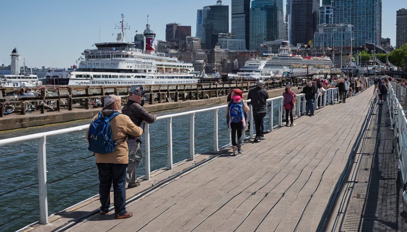
Which harbor sightseeing route covers the landmarks your family actually wants to see.
Families combining a boat trip with other transit should allow for tidal delays in their schedule. A detour around a shallow patch adds five or ten minutes to the total run time. That buffer matters if you need to catch a commuter ferry immediately after docking. Review the tide predictions alongside the published timetable. Once you confirm the route actually reaches your chosen landmarks under real water conditions, look at physical comfort: how much usable deck space does a sightseeing vessel offer per passenger?
How much usable deck space does a sightseeing vessel offer per passenger?
Usable deck space depends on the vessel class, seating configuration, and passenger capacity cap set by the Coast Guard certificate of inspection. Families need enough clear square footage near the rail for strollers and movement without blocking the gangway. For related context, review deciding between a bareboat rental and a skippered charter.
The Coast Guard certificate of inspection sets the maximum number of passengers a sightseeing boat can carry based on stability calculations, available deck area, and lifesaving equipment. A 100-foot harbor vessel might hold 300 passengers on paper. That same certificate limits outdoor standing room to a smaller fraction of the total count. When an operator sells tickets up to the absolute ceiling, the outdoor rails fill fast. You end up navigating around elbows and backpacks rather than watching the skyline.
Deck plans show the difference between total square footage and usable square footage. Fixed bench seating along the gunwales eats into the walking path. Enclosed lower cabins with climate control take priority during rain or cold wind, pushing everyone toward the same narrow outdoor corridors. Think of it like a crowded restaurant patio: the total footprint looks generous until you subtract the tables, planters, and the path servers need to walk through.
Vessel length and beam measurements give you a rough starting point before you read the deck plan. A wider beam means more lateral space at the rail. Compare two boats running similar routes. The one measuring 25 feet across the beam offers noticeably more shoulder room than a hull measuring 18 feet across, even if both carry the same passenger count. Ask the ticket office about the specific boat assigned to your departure time. Operators often rotate vessels throughout the day, and a morning run might use a different hull than the afternoon trip.
Families traveling with young children should look for open aft decks rather than narrow side passageways. Side decks on older ferries converted for sightseeing often measure under four feet wide. An aft deck gives a stroller a place to park without forcing other passengers to squeeze past. Once you know how much room your family will have on board, consider how everyone gets onto that deck safely. What does the boarding gangway width mean for strollers and wheelchairs?
What does the boarding gangway width mean for strollers and wheelchairs?
The boarding gangway is the ramp connecting the pier to the vessel deck. Its width, slope, and gap tolerance determine whether a double stroller or wheelchair can board safely. Gangway specifications vary by pier infrastructure and vessel freeboard, changing with every tide cycle.
A standard single stroller needs roughly 24 inches of clear width. A side-by-side double stroller requires 30 to 34 inches. Manual wheelchairs typically measure 25 to 28 inches across the handrims, while powered chairs often span 26 to 30 inches. Passenger vessel accessibility guidelines generally target a 36-inch minimum clear width for boarding ramps to accommodate these dimensions with a margin for error. That three-foot clearance gives a parent pushing a double stroller enough room to steer without scraping the metal rails on either side.
Slope matters just as much as width. A gangway pitched too steeply forces you to hold back the weight of a loaded stroller on the way down or push hard against gravity on the way up. The angle changes throughout the day because the water level rises and falls. At low tide, the distance between the pier surface and the boat deck grows larger, making the ramp steeper. Families traveling with young children or mobility equipment should ask the ticket agent about the tidal window for their specific departure time.
Floating docks rise and fall with the water. These platforms stay level with the boat deck because both structures rest on the surface. A floating dock usually connects to the shore via a hinged bridge or a long approach ramp. The gangway from the floating dock to the vessel stays relatively flat regardless of the tide. The trade-off is lateral movement. Floating docks shift side to side when ferries pass or wind pushes against them. That sway creates a moving gap between the dock edge and the boat hull. Crew members manage this gap, but a parent steering a stroller needs to watch their footing and cross when the platform steadies.
Independent sightseeing boats and smaller circle line sightseeing cruise operators frequently share public slips or transient berths. Shared terminals serve multiple vessels throughout the day. The gangway available at your departure time might be a basic aluminum ramp rather than a covered boarding bridge. Width and condition depend on what the port authority provides rather than what the boat company owns. Before booking with a smaller operator, call the dispatch office and ask two questions: the exact width of the gangway in use that week, and whether the crew assists passengers rolling heavy gear aboard.
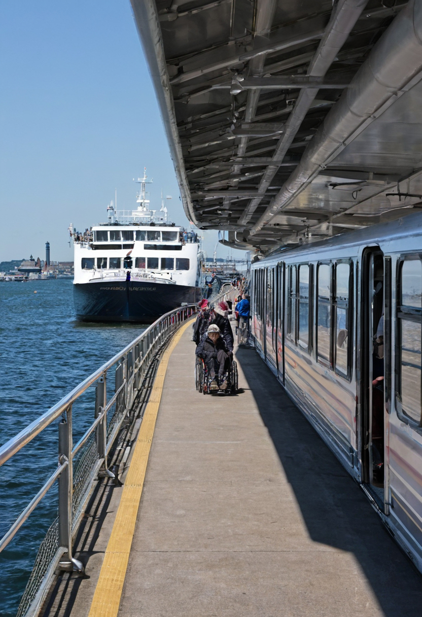
What does the boarding gangway width mean for strollers and wheelchairs.
Knowing the gangway setup tells you if your stroller will fit, but the ramp is only the final step. Getting your family from the train station or parking lot to the correct pier entrance means navigating the waterfront itself. The next question is exactly where the departure pier sits and how far the walk stretches from public transit.
Where exactly is the departure pier, and how far is the walk from transit?
A pier number on a ticket does not tell you where to stand. Departure piers range from dedicated terminals with waiting rooms to numbered slips on a public seawall. Measure the walking distance from the nearest ferry landing or parking area to the exact gangway position before booking.
Sightseeing operators in busy harbors typically lease specific slip numbers rather than entire buildings. A ticket might say “Pier 83,” but the actual boarding gangway could sit at the north end of that pier, past a chain-link fence separating commercial traffic from passenger loading zones. Families dragging coolers and strollers need to know about that final stretch. The difference between the terminal entrance and the gangway often adds five to ten minutes of walking on concrete.
Transit connections vary by operator. Major sightseeing companies sometimes dock next to commuter ferry landings, while smaller boats tie up at municipal piers further down the waterfront. If your plan involves planning a New York Harbor family day trip using NYC Ferry landings, check whether the sightseeing boat departs from the same landing or requires a walk along the esplanade to a different slip. Transit authority maps show ferry stops, but they rarely mark private sightseeing gangways.
Use this checklist to pinpoint your group’s starting point:
Port authorities and local visitor bureaus publish harbor maps showing public access points. These maps help you trace the route from a subway exit or parking garage to the water’s edge. Match the operator’s slip number against the official map to spot construction zones or closed pedestrian bridges that add unexpected detours.
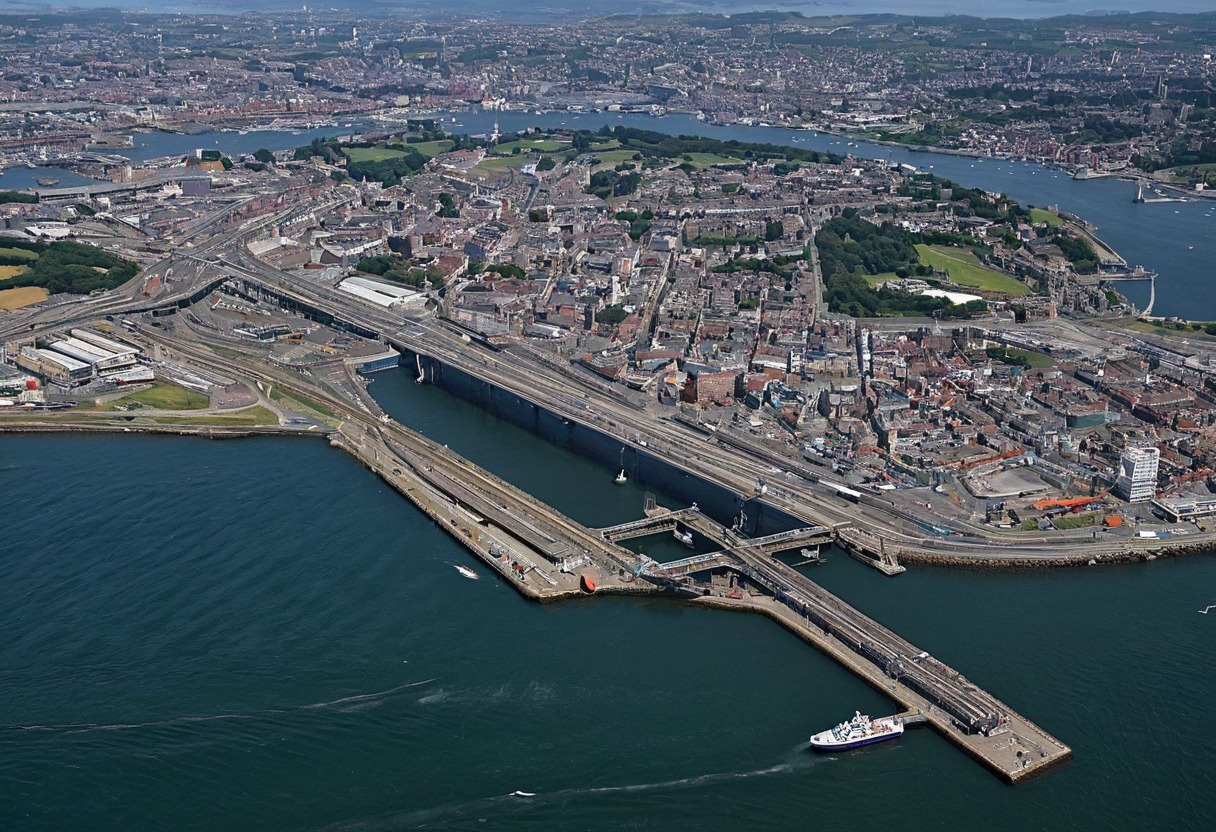
Where exactly is the departure pier, and how far is the walk from transit.
Knowing the exact gangway location solves the arrival puzzle, but the schedule introduces another variable. Once your family reaches the correct slip, the boat might still be unloading passengers from the previous trip. Find out how long the vessel stays tied to the dock between runs so you can time your approach without standing idle on the concrete.
How long does the vessel stay docked between sightseeing runs?
What happens to your sightseeing tickets when the harbormaster closes the port?
For more on this topic, see other guides on this site.